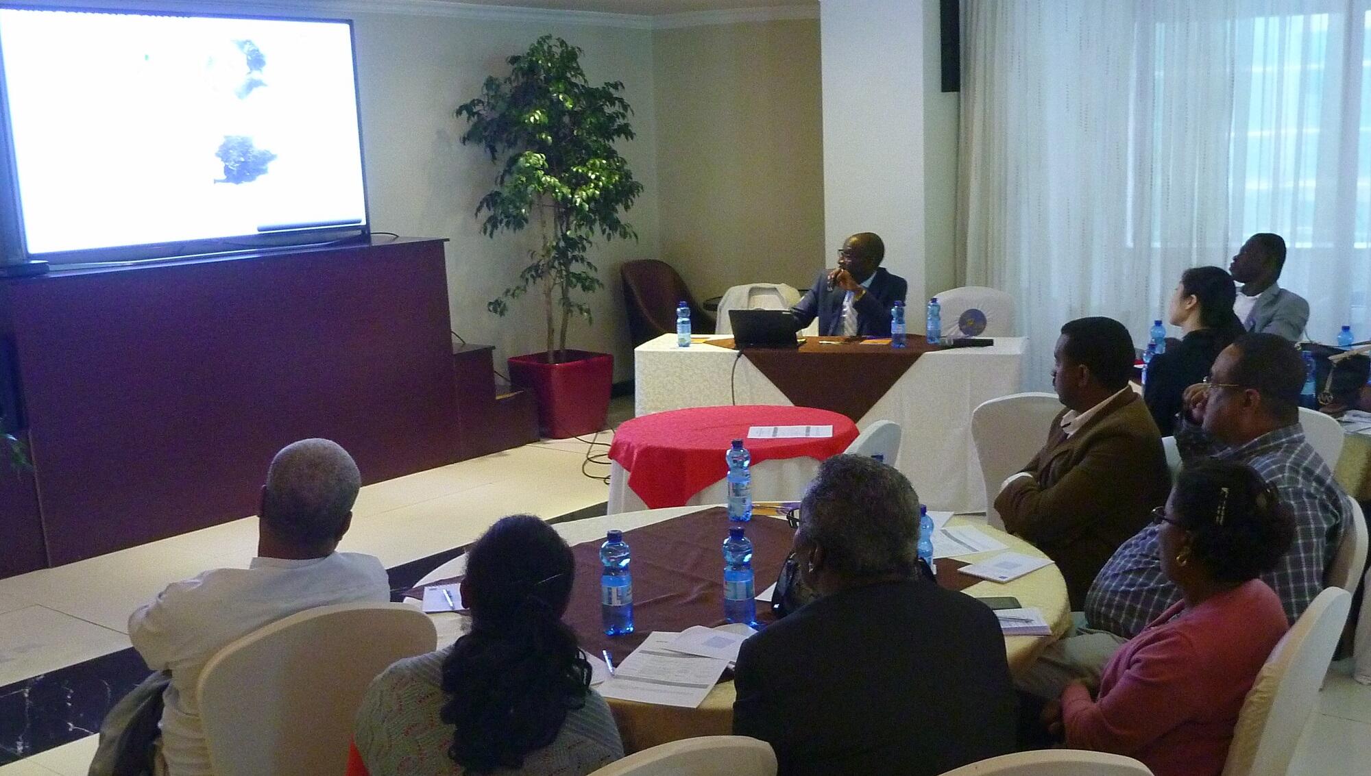
UNFPA introduced the Geo-Referenced Infrastructure and Demographic Data for Development (GRID) Initiative to the Central Statistical Agency and other stakeholders during a Consultative Meeting held in Addis Ababa on February 13.
Opening the consultative meeting, UNFPA Ethiopia Deputy Representative, Mr. Rakoto Victor expressed his hope that that the implementation of the GRID3 in Ethiopia will get stakeholders support and will help the decision making and programming processes in the country in the coming years. And he said that the consultative meeting would be the starting point for the journey.
The Bill and Melinda Gates Foundation and UK Department for International Development (DfID) recently awarded a grant to UNFPA, Flowminder and CIESIN to strengthen national capacities to generate and utilize geos-referenced infrastructure and demographic data for development (GRID3) in six African countries. Ethiopia is one of the potential African countries selected for the implementation of the GRID Project along with Democratic Republic of Congo, Nigeria, South Sudan, Tanzania, and Zambia.
During the meeting, Tapiwa Jhamba, Senior Technical Adviser, and Sainan Zhang, Technical Specialist, both based at the UNFPA Headquarters, highlighted that the GRID3 Initiative aims to strengthen national capacity to collect, use, and share geospatial data on population, settlement, and infrastructure to support socioeconomic development.
The initiative includes collection of high resolution georeferenced population data, and combining the population data with high precision boundary data, accurate settlement data and spatial infrastructure data to identify service delivery needs, map inequalities, and update national survey sampling frames.
The GRID3 approach has also been successfully implemented in Nigeria for the Polio Eradication Project, in Zambia to identify areas associated with high child marriage, and in Nepal to identify numbers of pregnant women needing humanitarian assistance by overlaying population and earthquake vulnerability maps.
Stakeholders including Central Statistical Agency, Ethiopian Mapping Authority (recently renamed as Ethiopian Geospatial Information Agency), Information Network Security Agency (INSA), higher learning institutions and NGOs were in attendance at the consultative meeting.


